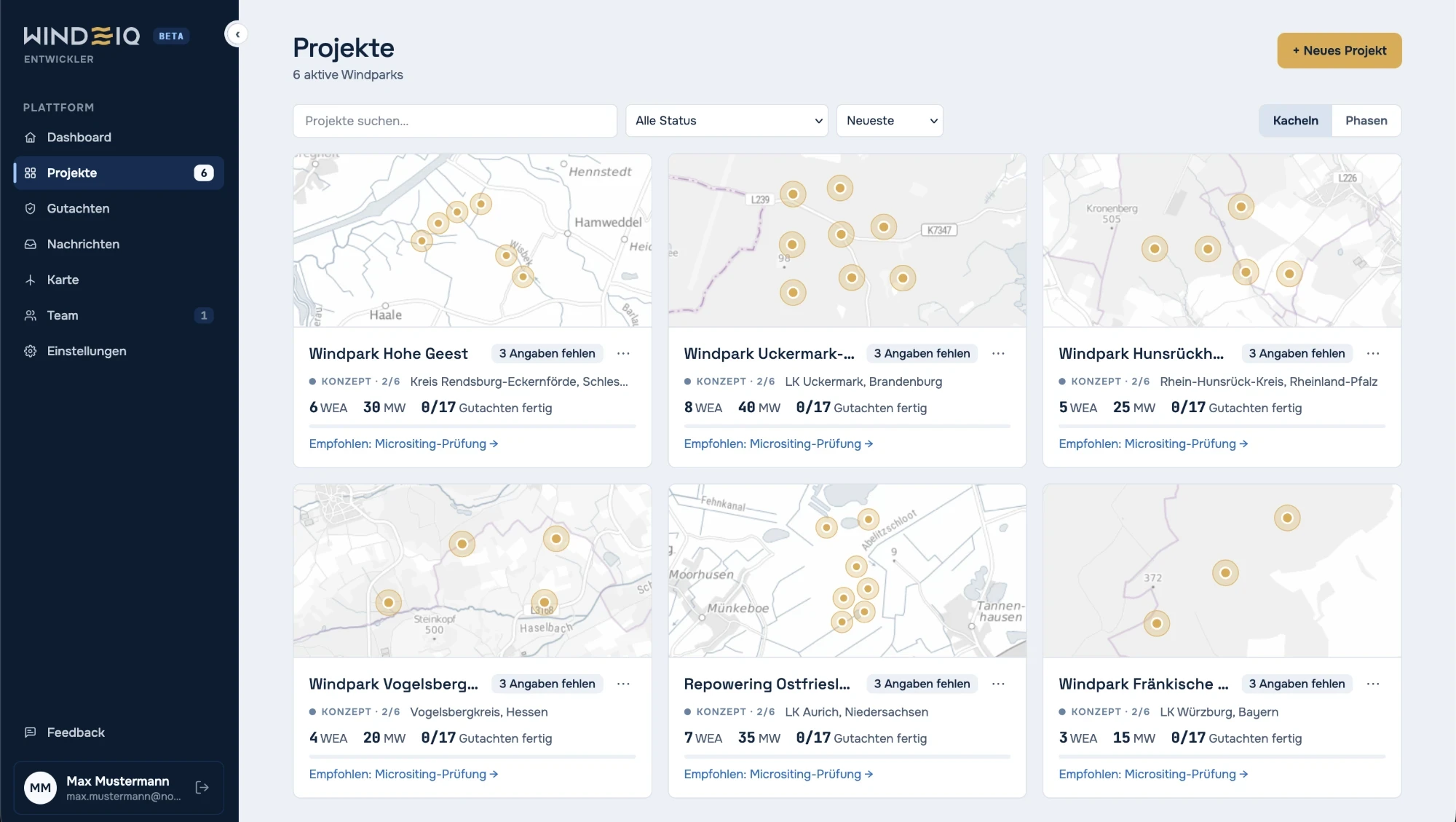
All projects at a glance
Wind farms and assessment status in one shared project overview.
 Join the waitlist
Independent assessors on one platform.




Minutes, not days.
Several assessments from different specialists, bundled on one platform.
A checklist shows where every assessment stands and which data is still missing.
Request assessments quickly, without e-mails, data packages or phone calls.
A well-founded first noise and shadow flicker estimate is ready in minutes.
Clients of the assessor firms in the WINDIQ network.













Independent, accredited assessors and a platform that makes every step traceable, from the first site to financing. Less complexity, more focus on the project.
Lower uncertainty = better bankability
GEO-NET, anemos, I17-Wind and IEL to DIN EN ISO/IEC 17025. GEO-NET is a leading international assessor for wind measurement and wind resource. Its accreditation and MEASNET membership make its work internationally recognised.
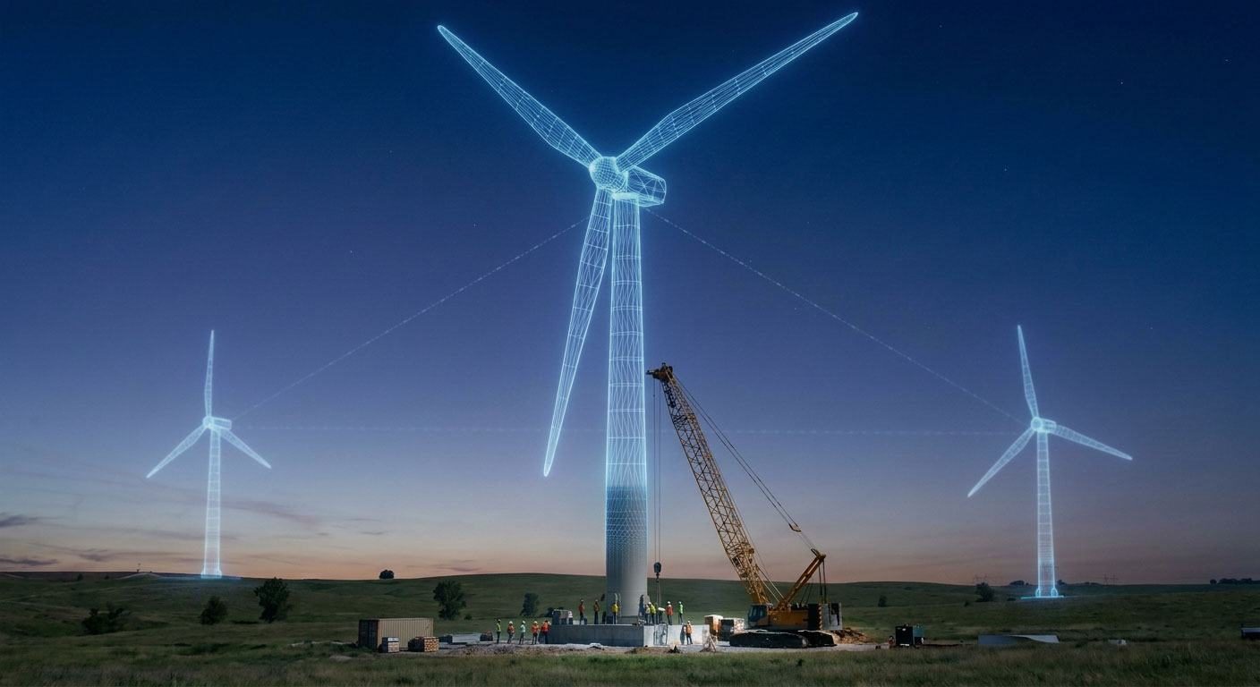
Analyse the terrain in real time.
From years of active work on FGW committees
WAsP and CFD
Internationally recognised and bankable
Fast, secure, independent.
GEO-NET, anemos, I17-Wind, planGIS and IEL: independent firms, each with its own expertise.
Meet the network →Wind farms and assessment status in one shared project overview.
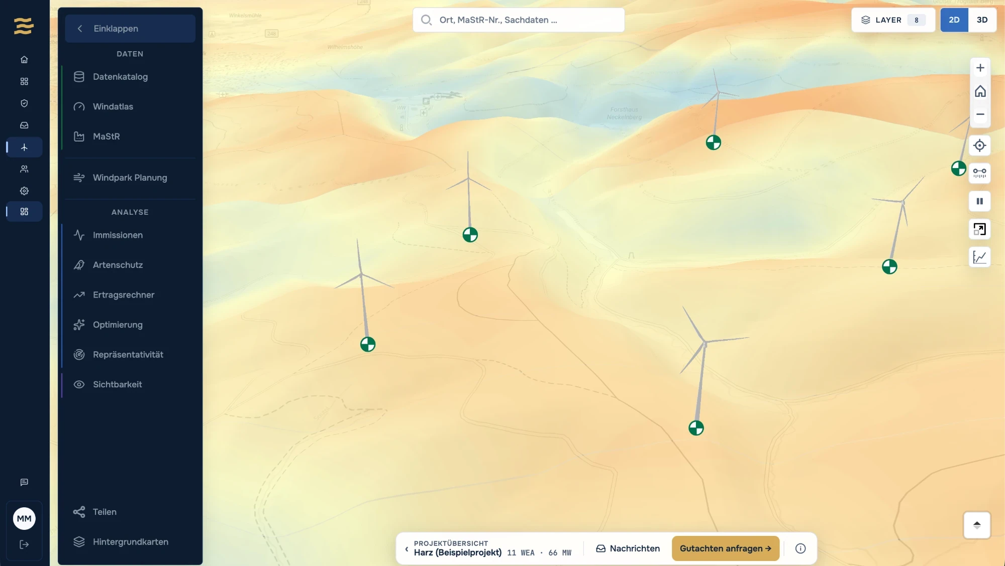
View turbines and terrain in 3D and open site analyses right inside the project.
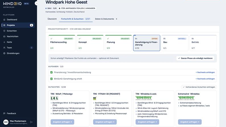
Project phases, tasks and assessments for each wind farm at a glance.
Get started in seconds. No setup required.